Salmon Fishing on the River Tummel
The main section of the Tummel of interest to the salmon fisherman is the lower section from the outflow at Faskally Dam at Pitlochry to the junction with the Tay at Logierait. There are 22 named pools on this lower section, fished by a total of twenty rods.
Spring salmon can be up as far as the dam at Pitlochry from the start of the season but few will now be taken in the opening month. Numbers will build up over the next few months, with the best of the fishing in May. The best of the fly fishing water is in the lower section down towards the junction with the Tay. Visitor permits are available at reasonable cost for the Portnacraig beat, controlled by Pitlochry Angling Club . Permits are also available for the trout fishing on the Tummel, which can be excellent.

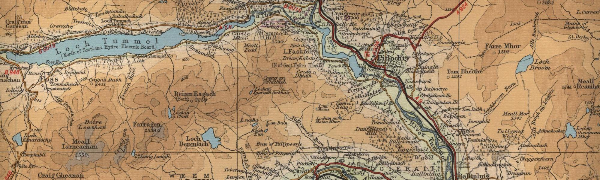
River Tummel Map
Tap or click on the map below to view full size image

Note: the maps on this website are extracts from the Bartholomew “Half Inch” map series dating back to the middle of the twentieth century. There have been many changes since the maps were made, and much of the human detail, e.g. buildings and roads, will have changed over the period. It is to be hoped, however, that the character of our Scottish rivers, and the trout and salmon in them, will not have altered too dramatically over the years and that they may still offer the wonderful fishing prospects of days gone by. Bearing the above in mind, anyone planning a fishing or walking trip in Scotland is advised to equip themselves with a compass and the appropriate up-to-date Ordnance Survey map, the most useful for the angler probably being the Landranger series, scale 1:50,000. For the Tummel, see O.S. map number 52.
For further information about the fishing on the River Tummel see River Tummel Fishing
For information about the trout fishing in the area see Trout Fishing Scotland