Salmon Fishing on the River Don
The upper course of the River Don, rising in the Grampian mountains, is steep and the river flows quickly through wooded slopes, joined on the way by a number of tributaries. Some way below Alford, the gradient slows and the Don flows from this point more sedately through more gentle farmland, providing some of the best trout fishing in the country. At Inverurie, the Don is joined by the Urie, its most important tributary and one with a reputation for sea trout. Some 16 miles further on, the Don enters the North Sea at Bridge of Don just to the north of Aberdeen.

The Don has retained a bit of a spring run of salmon, with the early catches taken mainly from the lower river by both fly and spinner. During the summer and autumn, salmon and grilse can be encountered throughout the river, with the upper beats most productive in September and October. Sea trout provide sport through the summer months. There are in excess of sixty beats on the river, many of them available to visiting anglers, either by the day or week. Before the recent sharp decline in salmon catches, upwards of 1000 salmon caould be taken in a season. A salmon permit will cost anywhere between £15 and £80 depending on beat and time of year.

Trout Fishing
The upper river, while producing fewer salmon than the lower beats, excels in the quality of its brown trout fishing. The upper beats from Kildrummy down to Monymusk providing some excellent and varied fly water. Trout of around 2 pounds, and sometimes bigger, are regularly caught. Dry fly fishing in May and June can be very productive. Brown trout fishing is available on several beats for around £10 per day. Formed in 2018 Alford Angling Association offers membership and day permits for 2 miles of excellent fishing at Alford on the middle/upper river.
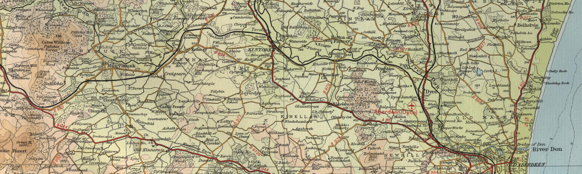
River Don Maps
Tap or click on the map below to view full size image


Note: the maps on this website are extracts from the Bartholomew “Half Inch” map series dating back to the middle of the twentieth century. There have been many changes since the maps were made, and much of the human detail, e.g. buildings and roads, will have changed over the period. It is to be hoped, however, that the character of our Scottish rivers, and the trout and salmon in them, will not have altered too dramatically over the years and that they may still offer the wonderful fishing prospects of days gone by. Bearing the above in mind, anyone planning a fishing or walking trip in Scotland is advised to equip themselves with a compass and the appropriate up-to-date Ordnance Survey map, the most useful for the angler probably being the Landranger series, scale 1:50,000. For the Don, see O.S. map number 37, 38.
For further information about the fishing on the River Don see River Don Fishing
For information about the trout fishing in the area see Trout Fishing Scotland