Salmon Fishing on the River Findhorn
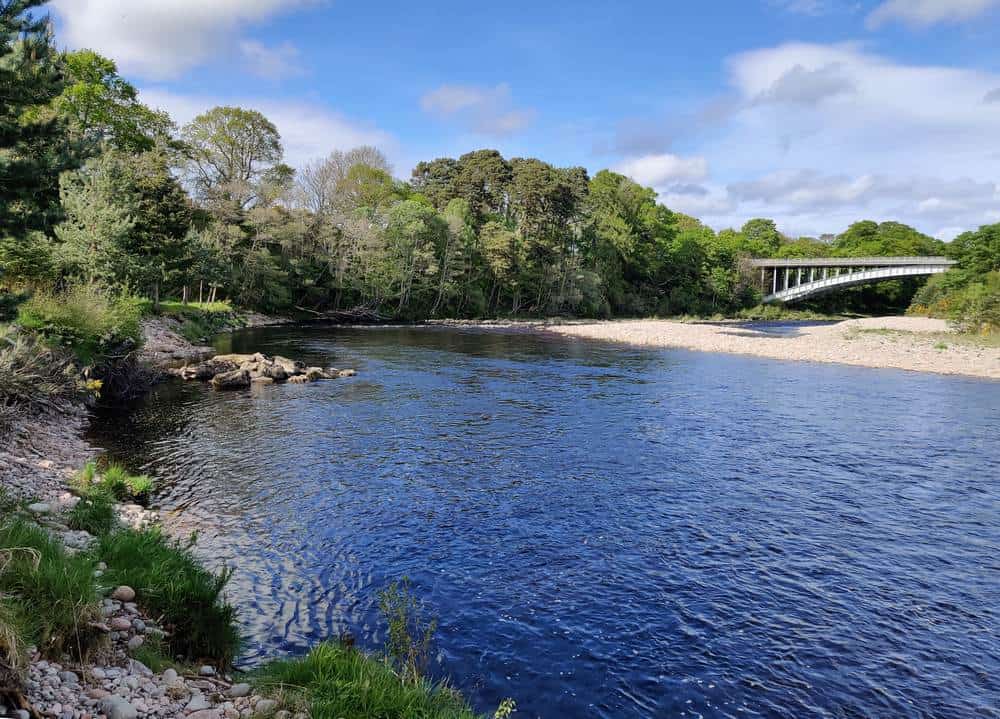
The River Findhorn flows 60 miles from its source high in the Monadhliath Mountains, entering Findhorn Bay on the Moray Firth, just below the town of Forres. The Findhorn is a most attractive and varied salmon river, characterised over much of its middle and lower course by a succession of deep pools and fast runs, running through high rocky gorges. Historically, the River Findhorn has been one of Scotland’s most productive rivers, although catches have fluctuated in recent seasons, as shown on the graph below, with recent catches generally falling somewhere between 1000 and 2000 salmon in a season with sea trout caught mainly in the lower beats.
The river rises and falls more quickly than it once did, owing largely to drainage schemes for forestry and farming. The fishing is challenging in places, particularly through the gorge section of the river, 200 feet deep in places, which continues for twenty miles below Dulsie Bridge. Salmon will often be found in the gorge from the opening day on 11th February but it might be May before good numbers of salmon run beyond the gorge, most of the early running fish having been held up by the Poolie Falls at Sluie, above the Altyre beat. The early February and March Findhorn fish can be large, some over twenty pounds. Grilse normally arrive by early July and from then on till the season’s end can be caught throughout the river. September tends to be the best month of the season on the highest beats. On the best beats rods are in high demand and may be difficult to obtain. Salmon fishing, however, is available to the visiting angler at reasonable cost on the four miles of the Forres Angling Association water on the lower river. This is excellent association water, the best months for salmon being July to September, and June to August for sea trout.

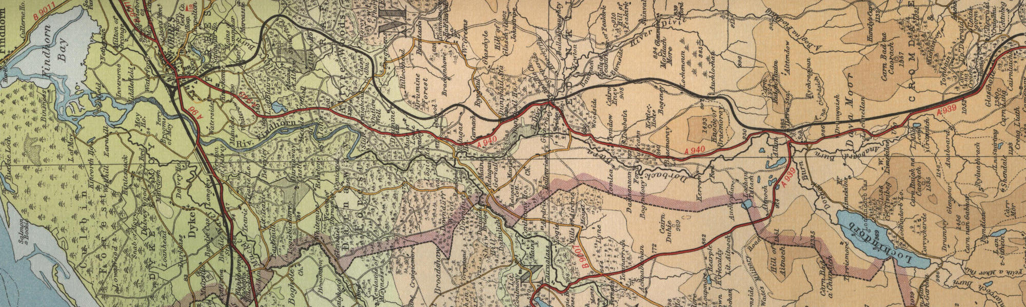
River Findhorn Map
Tap or click on the map below to view full size image

Note: the maps on this website are extracts from the Bartholomew “Half Inch” map series dating back to the middle of the twentieth century. There have been many changes since the maps were made, and much of the human detail, e.g. buildings and roads, will have changed over the period. It is to be hoped, however, that the unique character of our Scottish rivers, and the trout and salmon in them, will not have altered too dramatically over the years and that they may still offer the wonderful fishing prospects of days gone by. Bearing the above in mind, anyone planning a fishing or walking trip in Scotland is advised to equip themselves with a compass and the appropriate up-to-date Ordnance Survey map, the most useful for the angler probably being the Landranger series, scale 1:50,000. For The Findhorn, see O.S. map number 27.
For further information about the fishing on the Findhorn see River Findhorn Fishing
For information about the trout fishing in the area see Trout Fishing Scotland